We chose to stay at Kalpetta as all the interesting places are around Kalpetta. We were also tempted to stay in far flung places like Rain Country resorts, but the fact that the drive to and from the interesting places each day would consume more time made us stay in Kalpetta.
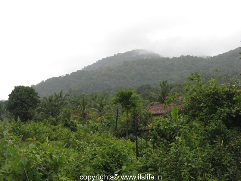
Kalpetta town in Kerala is encircled by green rolling hills intercepted by coffee plantations. You are in the lap of Western Ghats at 78 meters about sea level. Kalpetta is the district headquarters of Wayanad district.
Best Season to visit is from October to March.
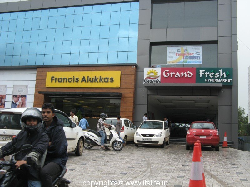
Many resorts and hotels to suit all budgets are available for tourists. For vegetarians, an Udupi Vegetarian Hotel near Afass shopping complex is available.
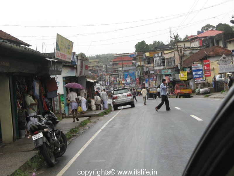
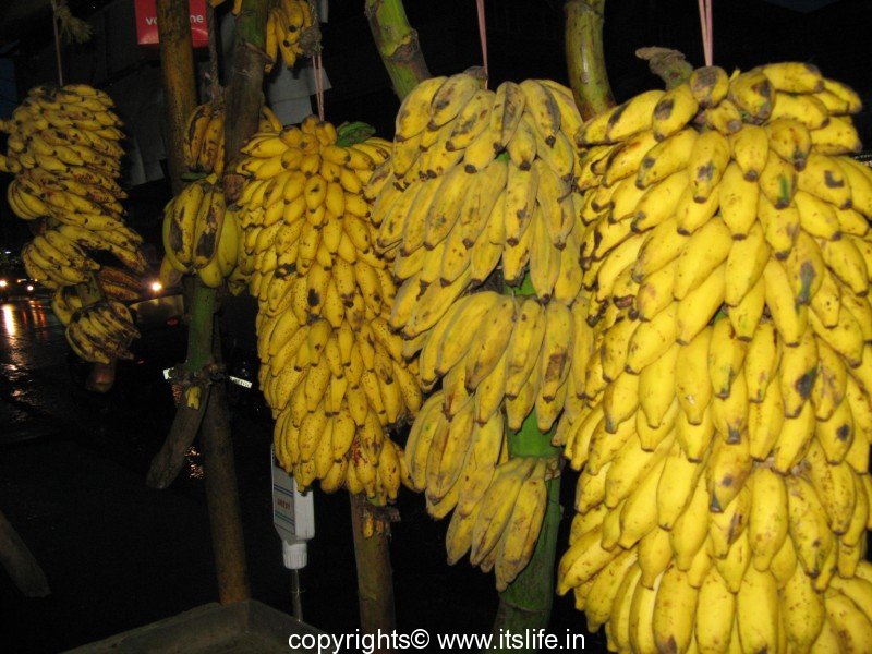
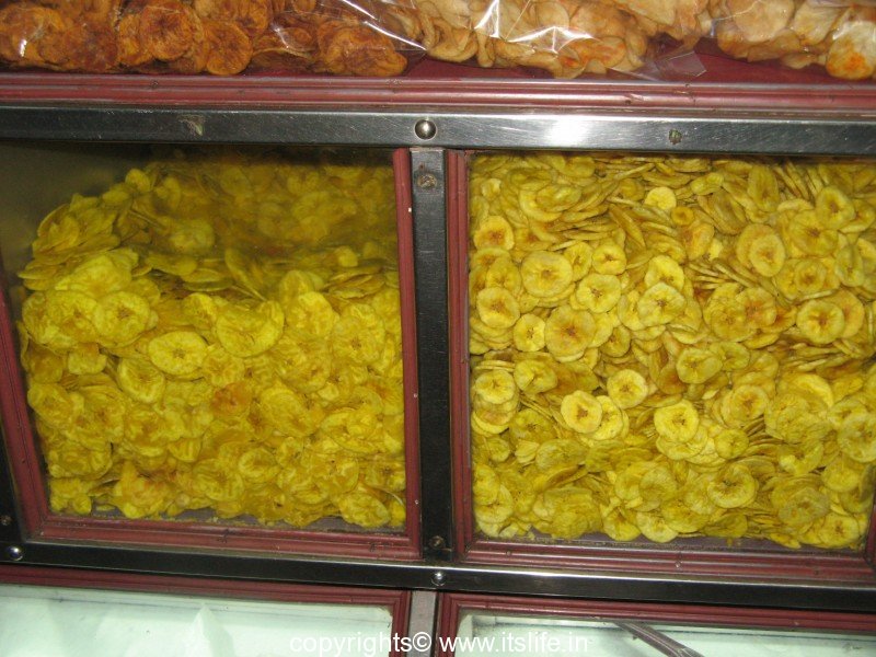
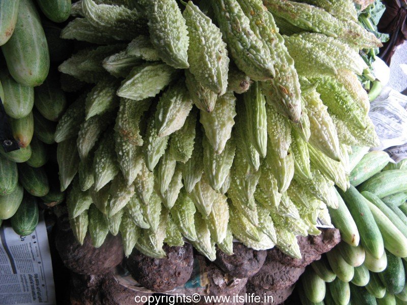
The main street has many interesting shops selling clothes, shoes, Kerala Banana, Vegetables, and Kerala Chips.
Many schools, colleges, and institutes are set up in Kalpetta. Small scale industries and dairy are within Kalpetta Municipal Limits employing many locals.
Places of interest:
Wayanad Ghat Road View Point – 16 km
Chain Tree – 16
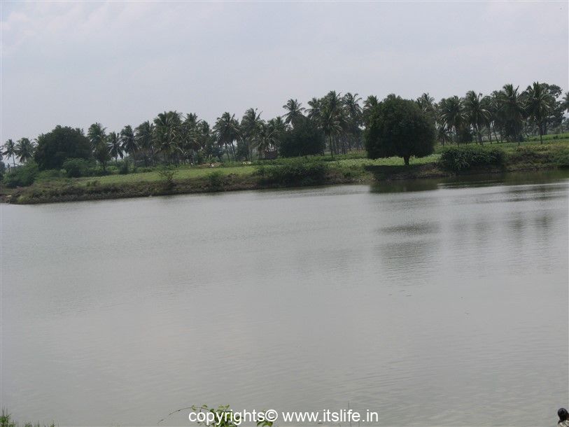
Pookode Lake – 10 km south
Banasura Sagar Dam – 24 km – considered the largest earthen dam in India
Soochipara Falls – 20 km
Chembra Peak – 17 km – a 2100 meter peak, the highest in the area
Edakkal Caves – 28 km
Meenmutty Falls – 25 km – 2 km jungle hike to spectacular waterfall
Neelimala View Point – 27 km
Chethalayam Falls – 37 km
Pakshipathalam – 71 km
Muthanga Wildlife Sanctuary – 42 km
Tholpetty Wildlife Sanctuary – 59
Jain Temple, Sultan Battery – 24
Wayanad Heritage Museum, Ambalavayal – 25 km
Uravu – 12 km
Pallikkunnu Church – 19 km
Korome Mosque – 47 km
Paingatteri Agraharam – 28 km
Pazhassi Raja’s Tomb – 35 km
Valliyoorkav Bhagavathi Temple – 24 km
Seetha Lava-Kusha Temple – 50 km
Thrissilery Shiva Temple – 50 km
Thirunelli Temple – 64 km
Papanasini, Thirunelli – 64 km
Sentinel Rock Falls – 23 km
Kanthanpara Falls – 22 km
Sunrise Valley – 22 km
Regional Agricultural Research Station (RARS)- 25 km
Phantom Rock – 26 km
Karapuzha Dam – 40 km
Kuruva Island – 40 km
Karalad Lake – 16 km
Brahmagiri – a 1608 meter peak (Actually, situated with in borders of Karnataka State)
Place Statistics:
Type of place: Town
Situated: Wayanad District, Kerala
Distance and road routes:
Kalpetta – Bangalore (280 KM): Sulthan Bathery – Muthanga – Gundalpet – Mysore(NH212)(Night travel not allowed)
Kalpetta – Bangalore (312KM): Mananthavadi – Kutta- Mysore (Night travel allowed)
Kalpetta – Mysore : 140KM via Sulthan Bathery (NH212 – No Night Travel), 172KM via Mananthavadi
Kalpetta – Ooty (127KM) : Meppadi – Gudalur
Kalpetta – Madikeri (135KM): Manathavadi- Kutta
Kalpetta – Kannur (123KM) : Mananthavadi – Koothuparamba
Kalpetta – Malappuram (99KM) : Thamarassery – Areekkode – Manjeri
Kalpetta – Kozhikode (72KM) : Vythiri – Thamarassery
Transport: Well connected by road, nearest railway station is Kozhikode – 97 Km, nearest airport is Calicut International Airport – 100 Km
Facilities: Resorts and hotels are available to suit all budgets