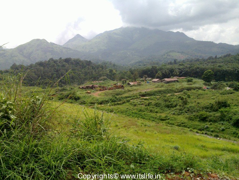
Wayanad district is the hilly, picturesque part of North East Kerala at altitudes ranging from 700 to 2100 meters above sea level. The hills spread over 2,132 square kilometers are part of the Western Ghats and it is one of the most sought after bio-diverse tourist destination in India. The name Wayanad is derived from the words “Vayal” meaning Paddy and “Naad” meaning land – the land of paddy fields. This is evident as you crisscross into the hills and valleys of Wayanad. Apart from Rice, coffee, tea, cocoa, pepper, plantain and vanilla are grown.
The district includes three taluks namely, Vythri, Mananthavady and Sulthan Bathery.
There are still many indigenous tribes living in this region. Some of the important mountains of the district are Chembra Peak (6,890 feet), Bnansura Peak (6,801 ft) and Brahmagiri (5,276 ft). Kabini River, which is one of the main tributary of River Cauvery flows into the district along with its three tributaries Panamaram, Mananthavady, and Kalindy rivers. On one of the tributary, the Banasura Sagar Dam is built.
The district has a history of more than 3,000 years. Wayanad has been ruled by the Vedars, British, Nairs and Tipu Sultan. The Jain culture was introduced in the district in the 13th century.
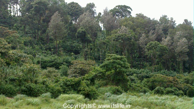
Due to the high altitude, Wayanad enjoys a salubrious climate throughout the year. The trees in the Wayanad forests are Rosewood, Teak, Bamboo, Erthrina etc. The fauna comprises of Elephants, Leopards, Deer, Loris, King Cobra, and an amazing variety of birds.
Some of the important towns and cities in Wayanad:
- Kalpetta
- Lakkidi
- Mananthavady
- Sulthan Bathery
- Ambalavayal
- Panamaram
Interesting places to visit in Wayanad:
- Chembra Peak
- Neelimala View Point
- Meenmutty Falls
- Chethalayam Falls
- Pakshipathalam
- Banasura Sagar Dam
- Wildlife Sanctuary – Muthanga
- Wildlife Sanctuary – Tholpetty
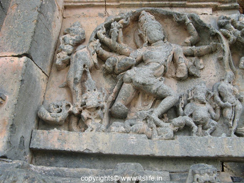
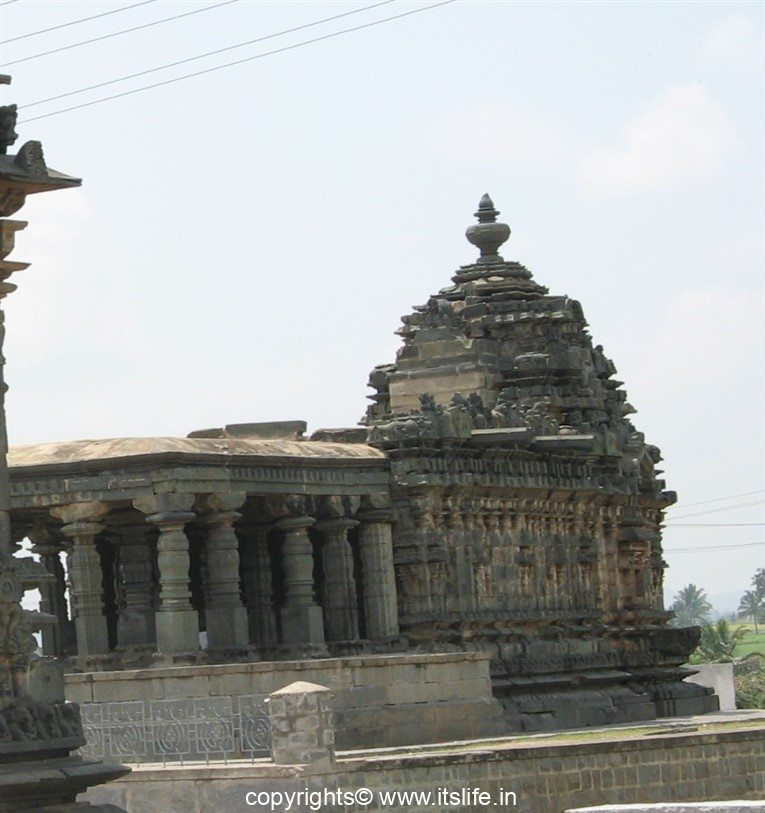
- Jain Temple
- Edakkal Caves
- Wayanad Heritage Museum
- Muniyara
- Uravu
- Chain Tree
- Paingatteri Agraharam
- Pazhassi Raja’s Tomb
- Valliyoorkav Bhagavathi Temple
- Seetha Lava-Kusha Temple
- Thrissilery Shiva Temple
- Thirunelli Temple
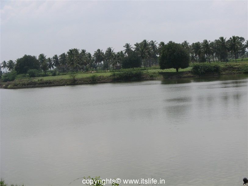
- Pookode Lake
- Sentinel Rock Falls
- Kanthanpara Falls
- Sunrise Valley
- Regional Agricultural Research Station (RARS)
- Phantom Rock
- Karapuzha Dam
- Pazhassi Park
- Kuruva Dweep / Island
- Karalad Lake
Place Statistics:
Type of Place: Hill Station
Situated: North Kerala
Distance: Mysore is 140 Km from Kalpetta; Kozhikode is 75 km from Kalpetta
Transport: Well connected by road and rail (Kozhikode is the nearest railway station)
Facilities: Many resorts, hotels, restaurants are available
Tourist information offices:
District Tourism Promotion Council
Kalpetta Telefax: 202134
Pookot Ph: 255207
Email: info@dtpcwayanad.com www.dtpcwayanad.com
Tourist Information Centre, Collectorate Ph: 204441
Govt. Guest House, Sulthan Bathery Ph: 04936-220225