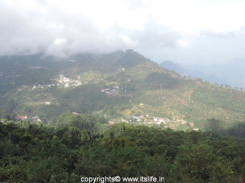
Situated in the upper Palani hills at an elevation of 2,133 m (6,998 ft), Kodaikanal is a popular hill station in South India. The meaning of the name Kodaikanal is very apt “The gift of the forest” or “Place to see in summer”.
Palaiyar tribal people are the earliest inhabitants of this verdant region. The British people found this place in 1845 to escape from the heat of the plains. Many other Indians found this place suitable to live and started moving to Kodaikanal.
Kodaikanal is between the Parappar and Gundar Valleys. These rolling hills are an offshoot of the Western Ghats.
Meadows, grasslands, and shola forests cover the hillsides. Waterfalls cascade here and there. As the climate is conducive for flora, there are many manicured gardens with variety of flowers on display.
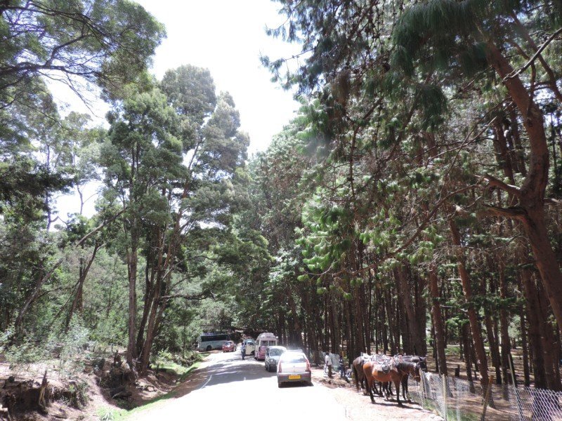
Trees like cypress, eucalyptus, and acacia are found in abundance. Pear trees dot the area with branches covered with the fruits. All varieties of plums are grown in this region.
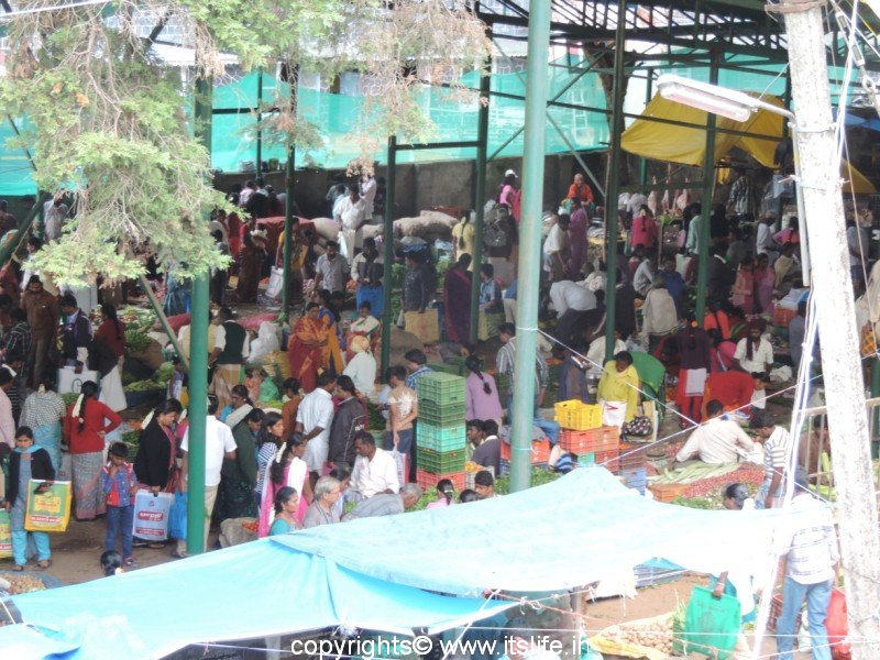
Picture above: Sunday bazaar
Many vegetables like capsicum, carrot, cauliflower, garlic, onion, and cabbage are cultivated in terrace farms.
Best time to visit is during April to June and October to January.
Interesting places in Kodaikanal:
Bear Shola Falls
Berijam Lake
Bryant Park
Chettiar Park
Coaker’s Walk
Devil’s Kitchen
Dolphin’s Nose
Green Valley View
Guna Cave
Kodaikanal Lake
Kodaikanal Solar Observatory
Kurinji Andavar Murugan temple
La Salette Church
Moir’s Point
Pillar Rocks
Pine Forests
Shembaganur Museum of Natural History
Silver Cascade Waterfall
Suicide Point
Thalaiyar Falls
Upper Lake view Point
Vattakanal Falls
Interesting places around:
Palani
Madurai
Mannavar lake
Dum Dum Rock
Place Statistics:
Type of place: Hill station
Situated: Dindigul district, Tamil Nadu
Distance: 135 Km from Madurai (airport), 170 Km from Coimbatore, 200 Km from Trichy, 64 Km from Palani (Rail)
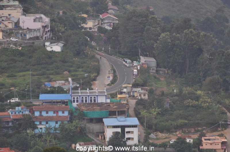
Transport: Well connected by road
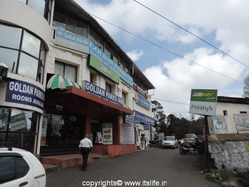
Facilities: Resorts and hotels are available to suit all budgets